|
|
|
|
Some Smiths |
|
|
|
Qualicum Beach City Loop(AKA: Tour de Qualicum) Qualicum Beach, BCDirectionsThis route is a circumnavigation of Qualicum Beach and can be started at any point on the route. The map shown below starts at Deez Bar and Grill where we have lunch after the ride. There's a parking lot across the street from them which always has spots (49.36055, -124.47521). Other good starting points are at the Final Approach Restaurant at the Qualicum Airport (49.34017, -124.39540) or the Fern and Cedar Brewing Company in downtown QB (49.34691, -124.43889). ConditionsThe route is primarily a combination of quiet roads and paved bike paths, but there is a section (about a kilometer through the woods) that is forest path (a little more effort, but any bicycle is OK). The Trip
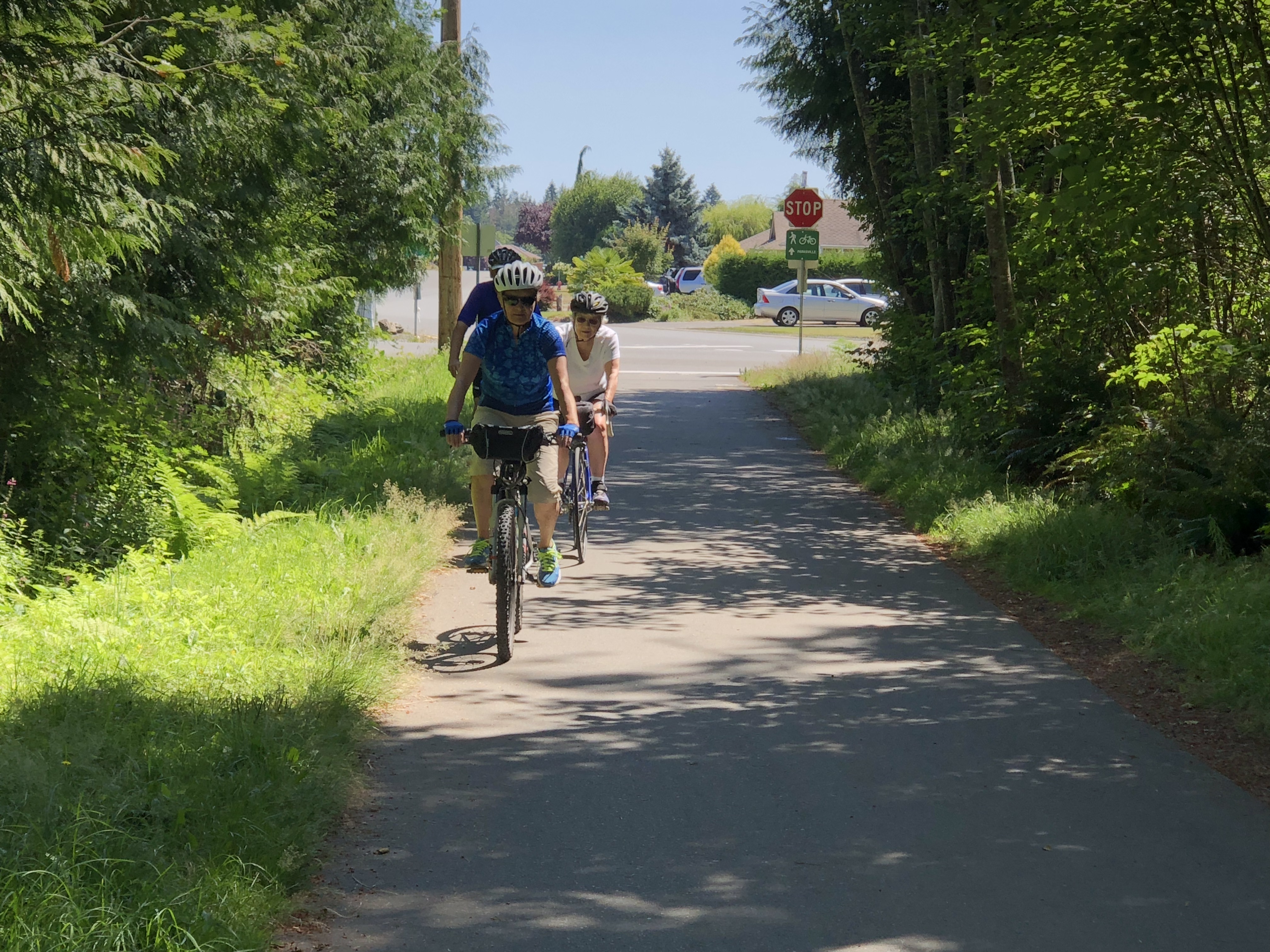
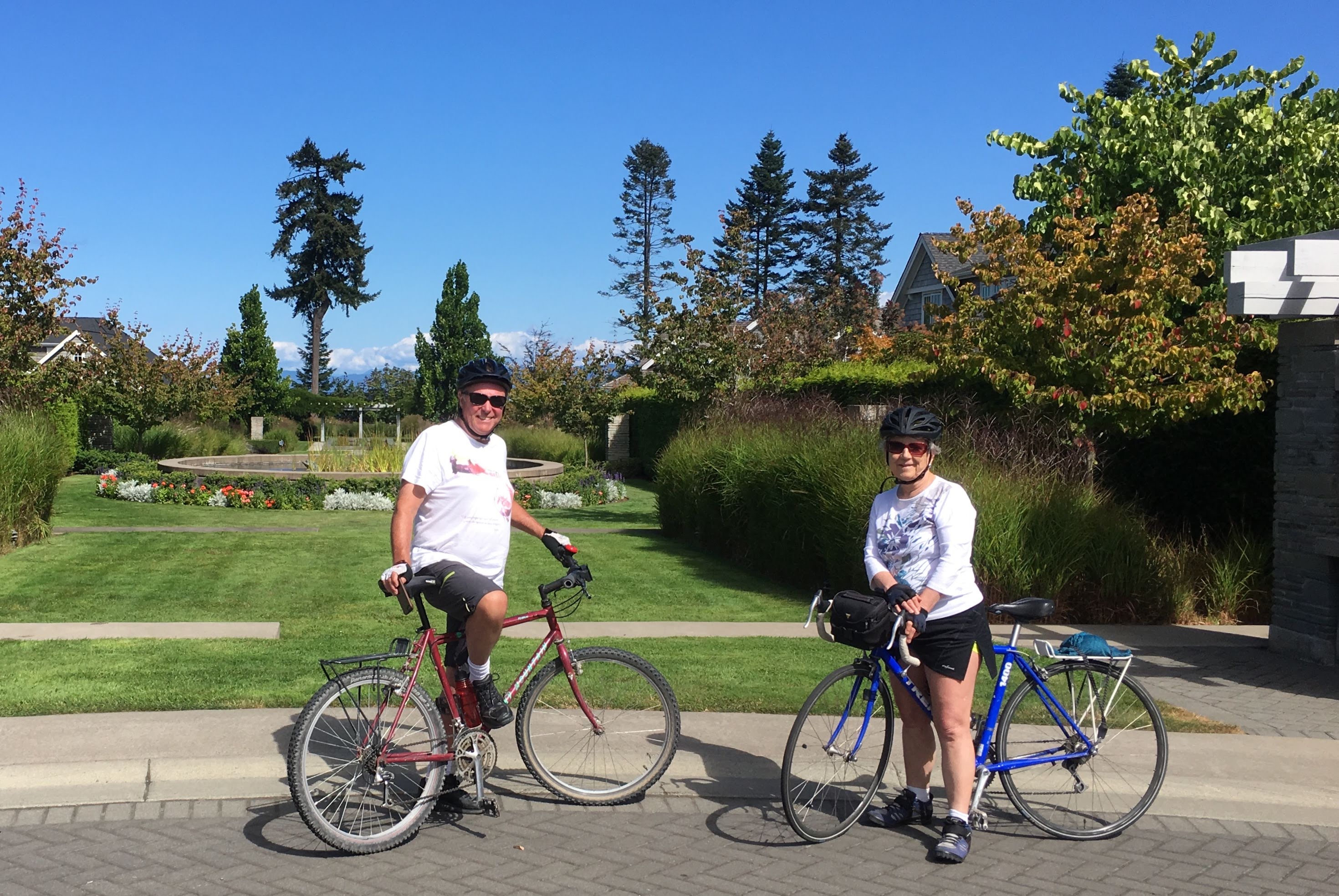
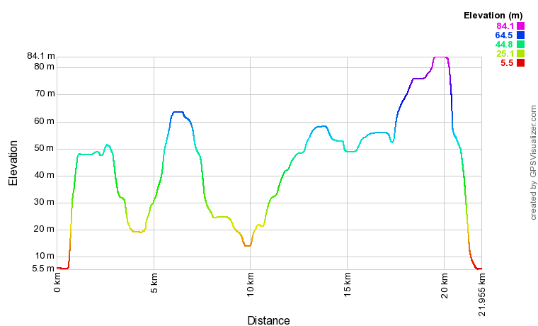
Our favourite parts of the trip are the ride through Heritage Forest, the tour round The Bluffs (an enclave of beautiful homes across from Eaglecrest golf course), the walking/cycling path through the city from Qualicum Road to Laburnum Road, and the cycling path along Rupert/Laburnum Road. MapThe map below is a Google "My Maps" embedded document and you can double click on it and expand it to see it better on either your computer or smart phone. If you'd like to download the actual GPS data to use instead, click on this link: Tour de Qualicum Elevation Profile |
|

 We like this trail because it passes through most of the types of neighbourhoods that make up
Qualicum Beach. There are parklands and trails through the trees, streets in suburbia, and only a
couple of busy streets.