|
|
|
|
Some Smiths |
|
|
|
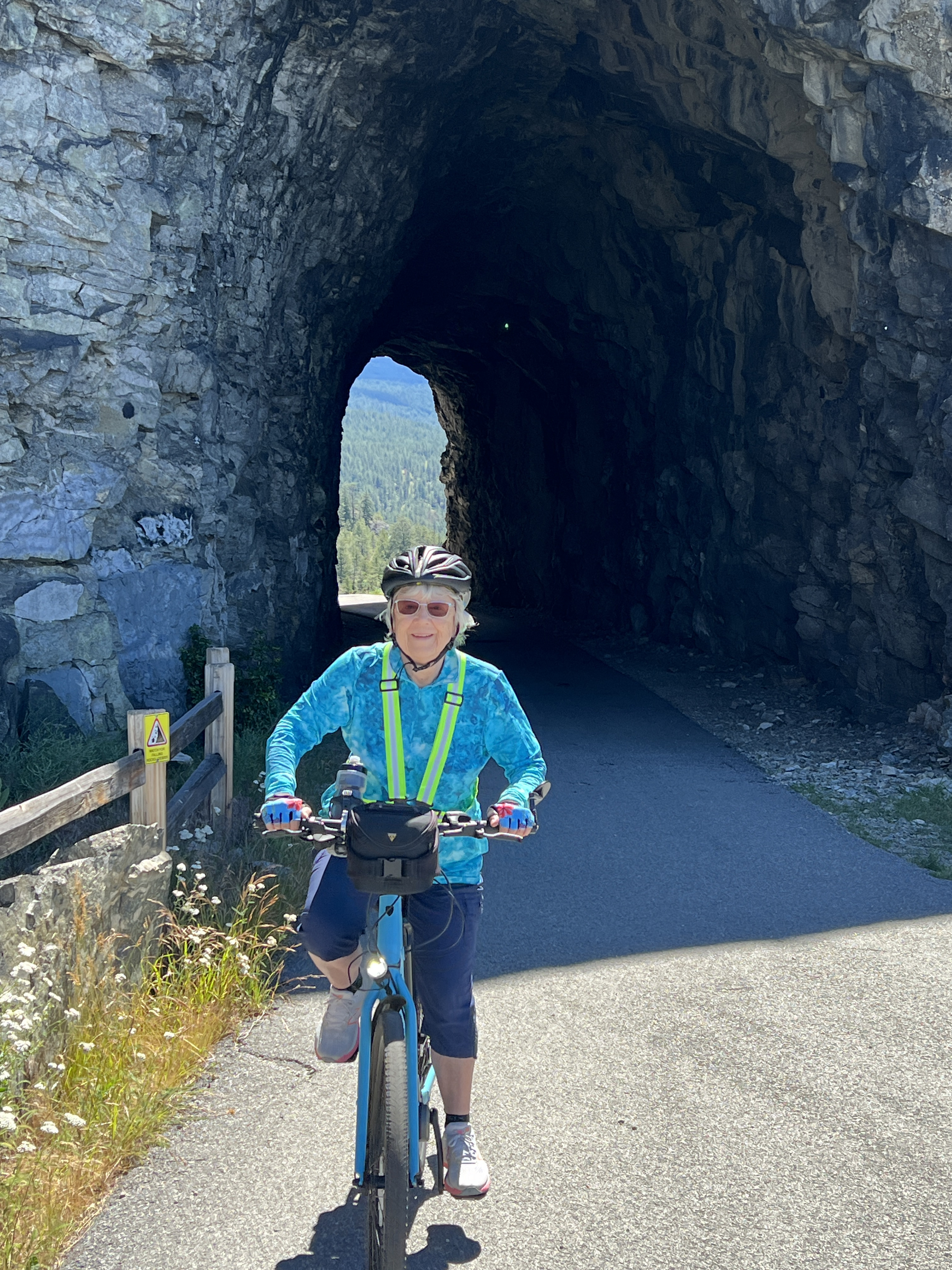
Kettle Valley Trail from PentictonDirections:Take your bicycles to the end of Vancouver Place in Penticton. There is ususally parking somewhere on the street. The street slopes up to the end and the KVT entry is off the cresent at the top. The Trip:From the start at Vancouver Place, the trail slopes gradually upwards, in a continuous climb throughout the ride. It's not that noticable on an eBike, but when you come back, you realize how much elevation change there was. You can coast for kilometers at a time without pedaling! One interesting thing to observe is the gradual change in vegetation. At the start it's dry grass and semi-arid shrubs and higher up, it's quite rocky with many Ponderosa pines. The trail is hardpacked dirt and pea gravel and is very easy to ride. It's about 10' wide, so side-by-side
riding it ok if the traffic the other way is light. You do have to watch carefully in some places, as the
trail has sheer drops in sections without guard rails. Although the KVT continues on for a long way, this route ends at a comfort station just North of the first tunnel, about 17km from the start. You can return the same way or get off the trail at one of the road intersections and return on Naramata roads. After the ride, there is a nearby restaurant called the Bench Market that serves a very good lunch .
Map:Here is a map of the route on Google Maps with a link to the .gpx file: Kettle Valley Trail |
|
